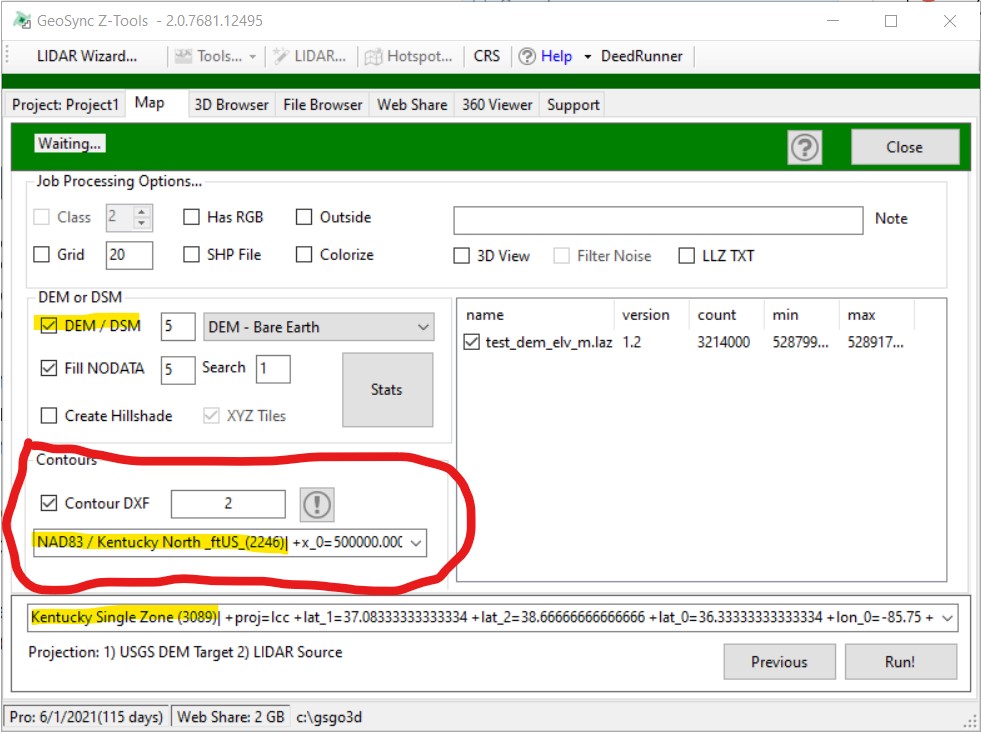
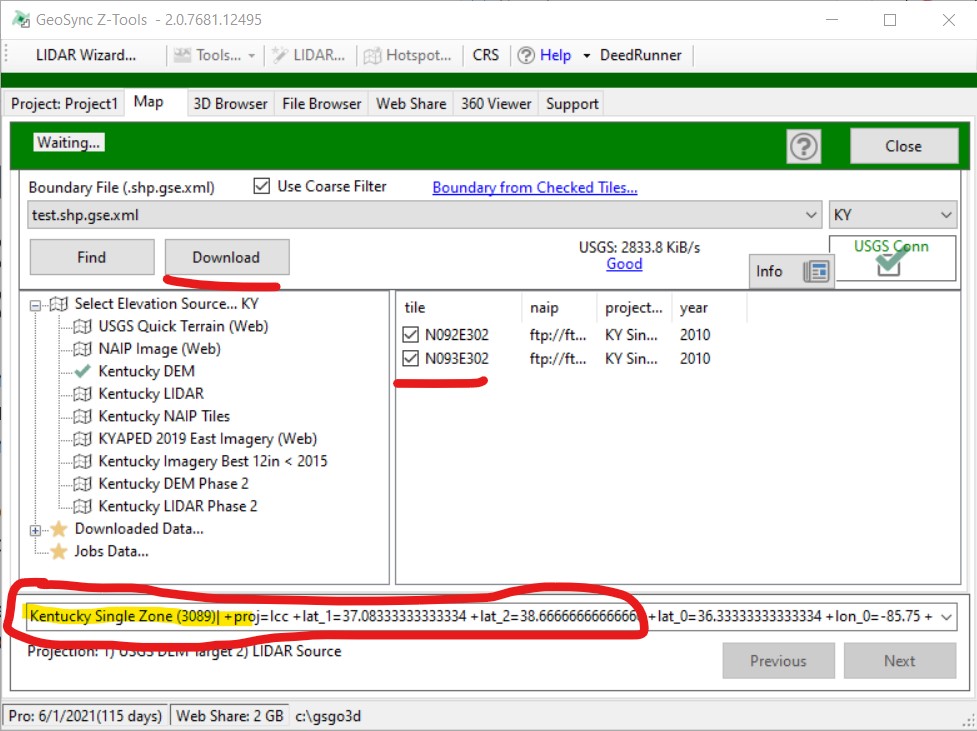
Output KY DXF Contours in NORTH or SOUTH Zone
Kentucky LIDAR and DEM data tiles are stored in Kentucky Single Zone projection. When working in the LIDAR Wizard to find and download tiles the source Projection (PROJ4) must be set to Kentucky Single Zone. To output DXF contours in Kentucky North or South Zone set the contour projection (Job Processing Page) to your target projection (NORTH or SOUTH). See the screen shots for an example where the DXF contours are output to KENTUCKY NORTH ZONE
Page 1 - Find & Download (Projection Set to KY Single Zone)
Page 2 - Options - Contour Output Projection set to KENTUCKY NORTH ZONE